← Systems
System 6Satellite Imagery & Network Intelligence
Wireless 20/20
Cellular infrastructure mapping services using satellite imagery, locating, classifying, and modeling tower assets and coverage at national scale.
Overview
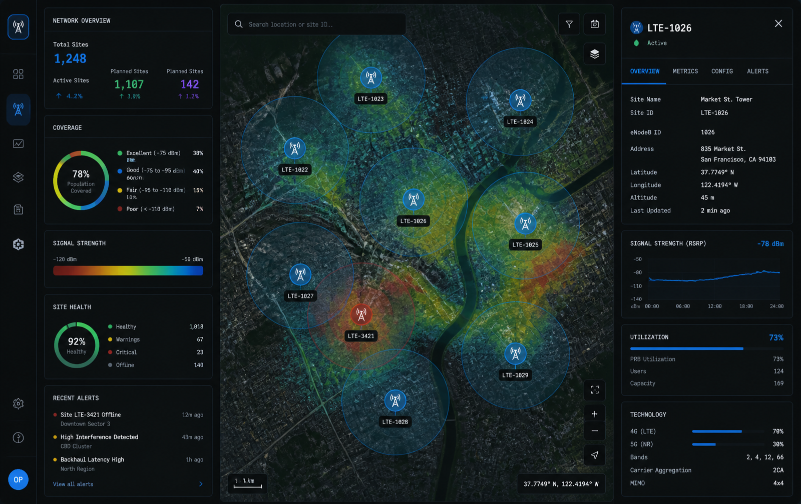
Wireless 20/20 applies computer vision to satellite and aerial imagery to detect and classify cellular infrastructure, then fuses those detections with terrain, population, and signal data to model coverage, capacity, and buildout opportunity. Operators explore sites on a satellite basemap with propagation overlays, site health, and per-asset metrics.
Capabilities
- Satellite imagery tower detection and classification
- Coverage and propagation modeling
- Signal strength and capacity analytics
- Site health and buildout planning
- National-scale geospatial data pipelines
Working on a problem in this space?
Contact→